


Professor Daniel Krebs (History) wants to tell the story of the 1862 Battle of Perryville – but outdoors, and outside the confines of the archives. Partnering with DJ Biddle (Geography & Geosciences), Krebs is using drones and GIS technology to create a 3D story map of the 1862 battlefield, which will analyze unit movements, recreate the landscape, and create a model for the infamous “acoustic shadow” that prevented Union commander, Gen. Don Carlos Buell, from sending reinforcements to his embattled left flank.
“Nobody – to our knowledge – has tried to use this type of GIS data for a history project,” Krebs said.
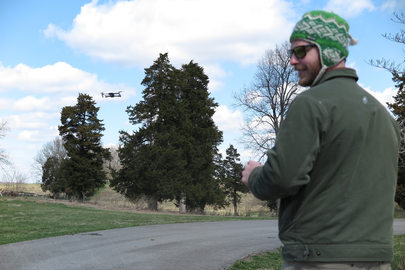
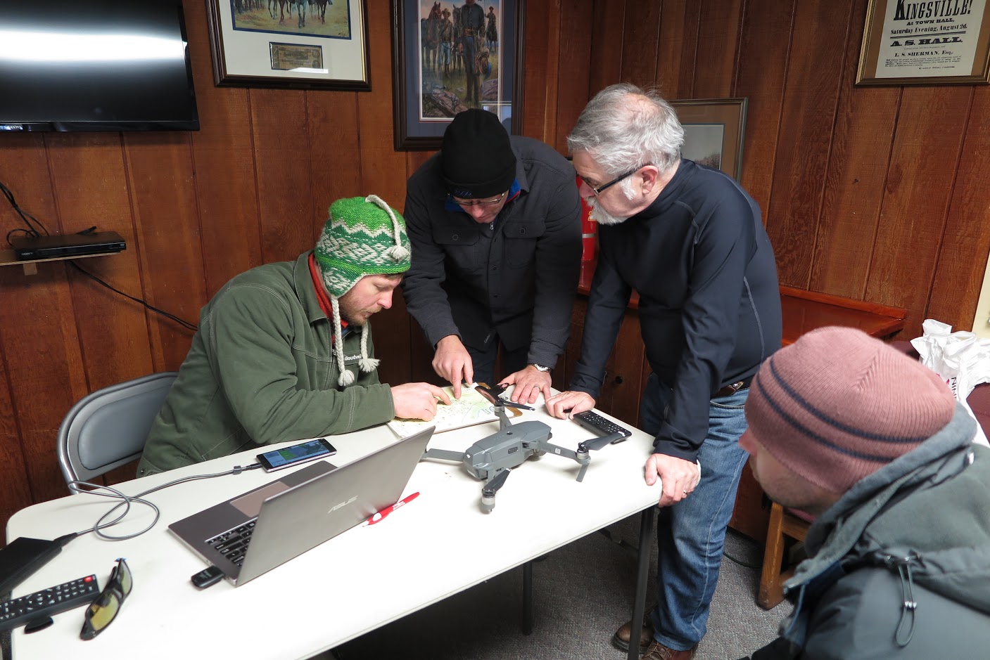
On March 3, faculty members and students from the Departments of History and Geography & Geosciences went to Perryville, Kentucky, to fly drones equipped with cameras. The drones were piloted in a grid pattern over the battlefield, and took photographs of the ground from various angles. Using those photographs, Krebs and Biddle will use Agisoft, a mapping software, to put together a 3D map of the terrain.
“This is the first time that the Geography & Geosciences Department has tried this equipment out on such a large scale. Everybody wants to see what works and what doesn’t, and all wanted to try out different drones and approaches to find ways to put together a process for doing this sort of mapping,” Krebs said. “Professor Biddle, my main project partner, flies the drone, and knows the ins-and-outs of the two key software programs, ArcGIS and Agisoft.”
For the trip to Perryville, a number of additional researchers and students outside the project came along, including College of Arts & Sciences professors Robert Forbes, Andrea Gaughan, Andrew Day, and Forrest Stevens, geography alumna Laura Krauser, and Vince DeNoto, director of the National Center for Geospatial Excellence at Jefferson Community & Technical College. Geography & geosciences graduate student G. Allen Noona is also working on the project.
For more information on this project and others, visit the Department of History and the Department of Geography & Geoscience’s Center for Geographic Information Sciences.